

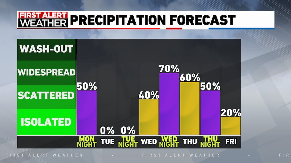
ROCKFORD, Ill. (WIFR) – It has been a fantastic day across the stateline! Highs have been close if not at the 70 degree mark with plenty of sunshine. Our skies will remain mostly clear tonight with lows dropping to the lower 50s. There are one or two models suggesting an isolated shower or storm may form tonight. While it is possible, I think our chances are exceptionally low close to 10 to 20%.
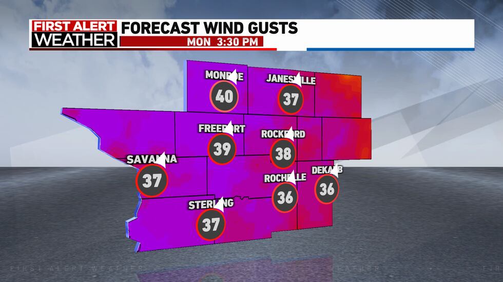
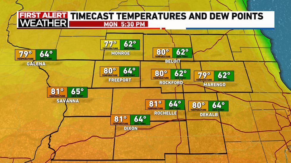
Monday will feature plenty of sunshine. Wind gusts are going to be exceptionally strong, with some gusts near 35 to 40 mph. This will drive warm moist air across the region. Highs will jump into the lower to middle 80s and dewpoints jump into the mid-60s making for a warm summer like day.
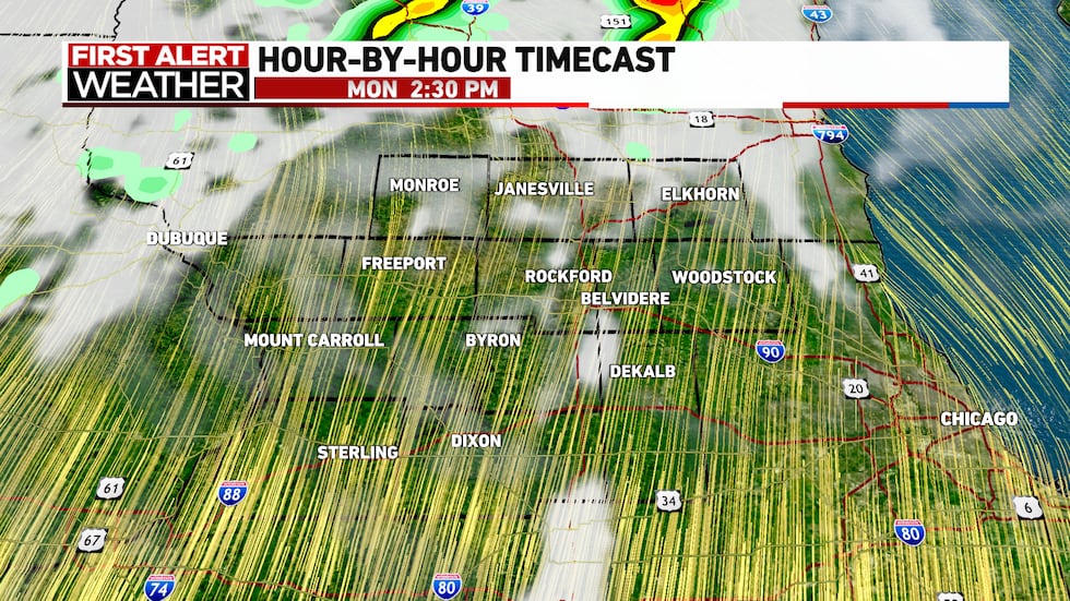
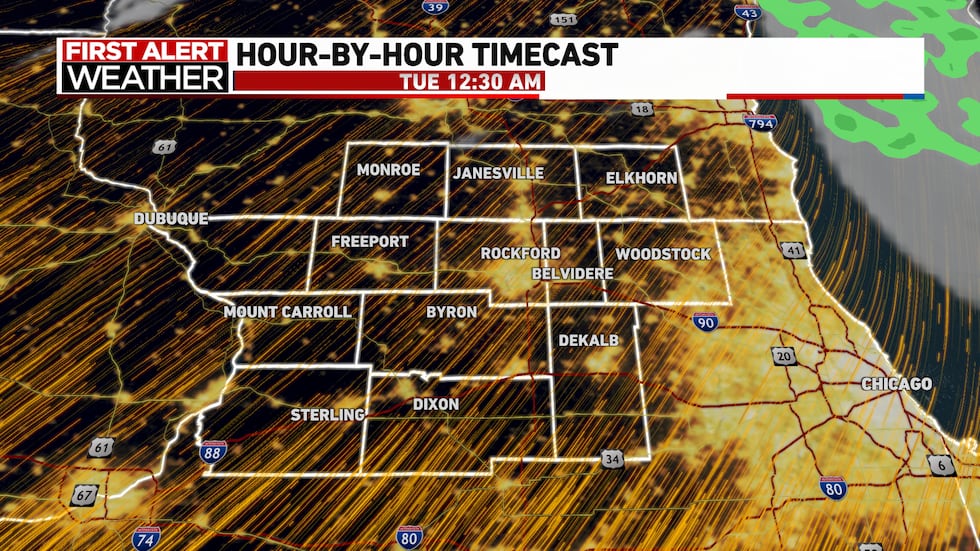
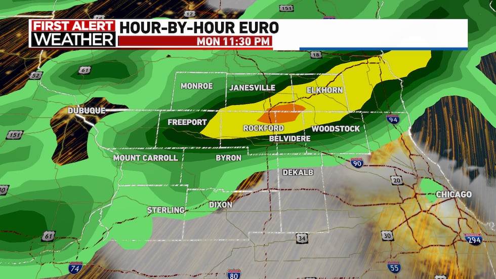
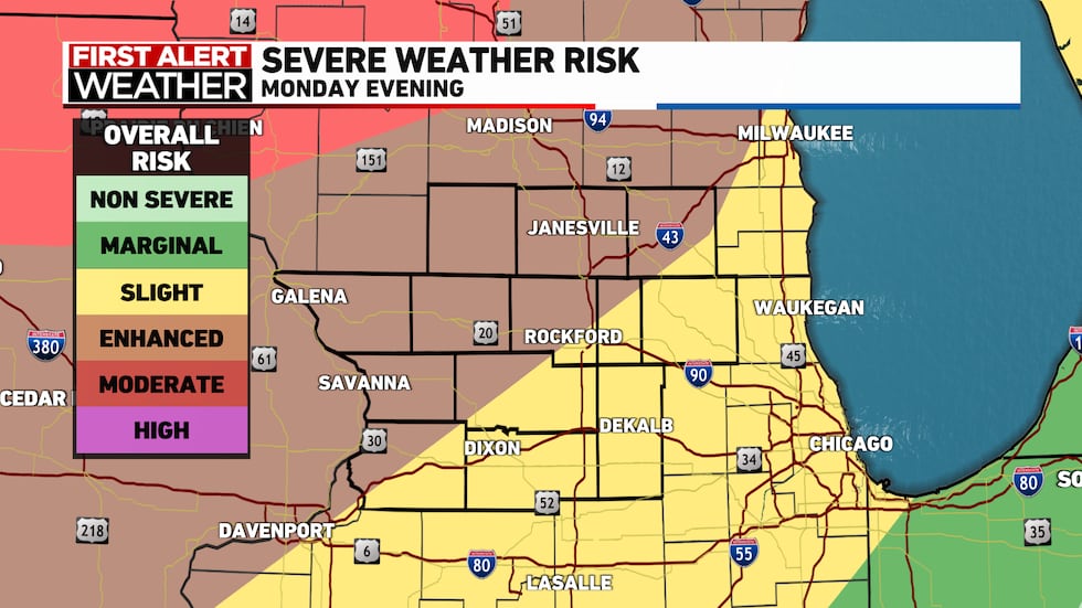
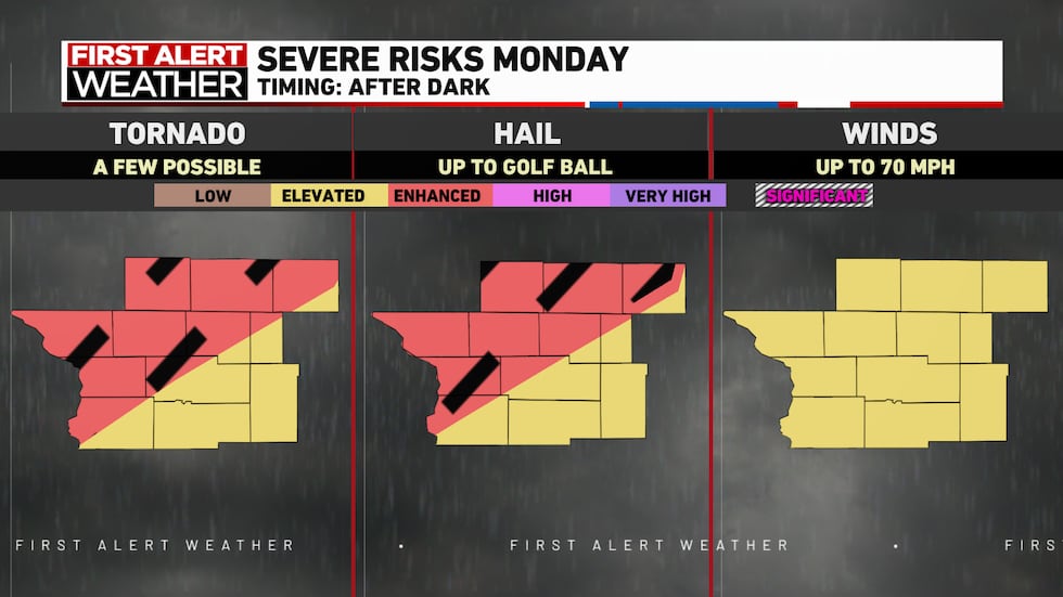
The evening forecast still has a ton of uncertainty with it. A cold front will enter the region around 10 p.m. The question is will the front be enough to break through a pretty strong atmospheric cap or a layer of warm air in our atmosphere. If the cap doesn’t break, we’ll have a warm and dry overnight. However, if the cap is able to break, explosive storm development is expected to occur. These storms will likely be strong to severe with all modes of severe in play. We are currently in an enhanced 3 out of 5 risk from the Storm Prediction Center. The energy in the atmosphere will allow very large hail to form where golf ball sized hail isn’t out of the question and a few strong tornadoes could form. At this point in time, I think the chances of our cap holding strong and no storms forming are sitting around 60%, with a 40% chance for storms to develop. This forecast will likely be a boom or bust so keep a close eye in the forecast over the next 24 hours and have some way.
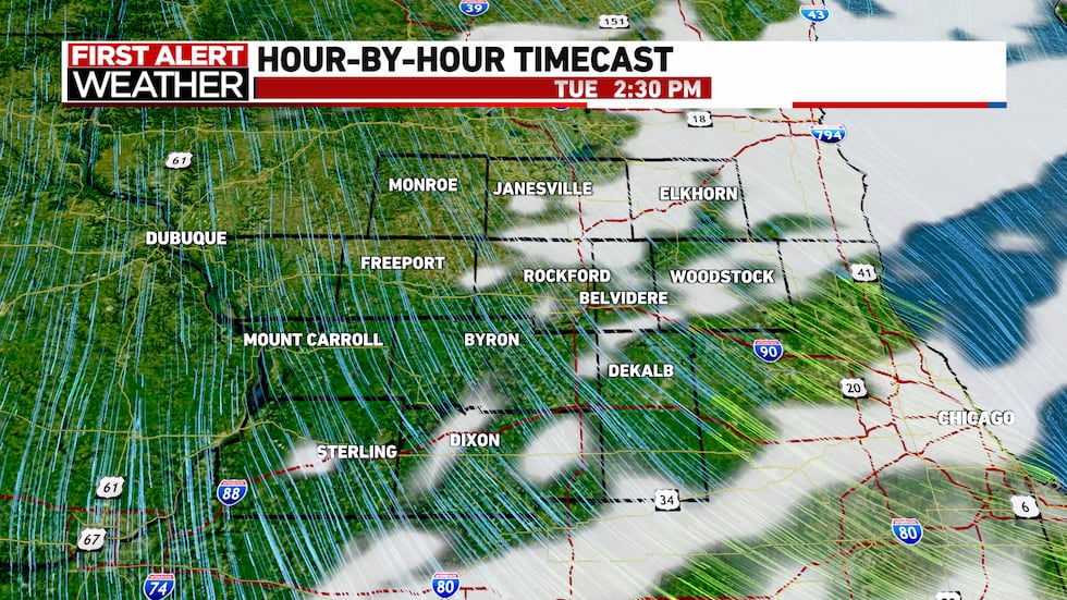
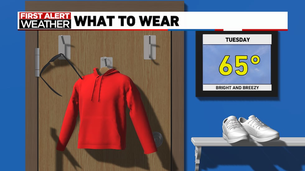
Calmer weather is expected for our Tuesday. Highs will only be in the mid-60s with partly cloudy skies but still pretty normal for a late April day.
We have more rain chances on Wednesday afternoon with on and off showers through Thursday night. Highs will be slightly cooler in the lower 60s but still pretty nice in my opinion.

Copyright 2025 WIFR. All rights reserved.
